The Digital Map Table
Collaborative situational awareness
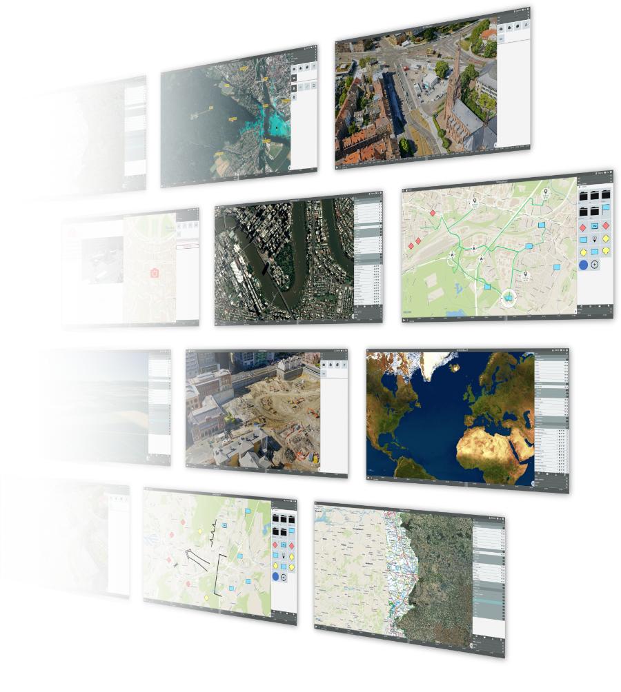
The Digital Map Table is a system for distributed situation visualization and planning both web-based and in VR. Any number of users can work independently or together on the same situation. The modular design allows individualizations and extensions and covers a wide range of use cases. A wide variety of data sources and geodata can be integrated so that all information is available to assess the situation and make the right decisions.![]()
DigLT Web
Intuitive planning from any location in four dimensions
The web-based interface of the digital map table allows access to the full range of functions from any device with a web browser without any software installation. The work of any number of users is constantly synchronized so that joint work is possible. This can be done independently or in direct coordination, for example through the integrated video chat functionality. In addition to common drawing functions, military symbols and graphics are also available. Visual route calculations and routing functions are integrated as planning tools. In addition to a 3D mode, all planning is displayed on a timeline to track the development of a situation or to plan ahead.
Information
DigLT VR
Seeing the world as it is: three-dimensional
In virtual reality, the Digital Map Table offers the possibility to experience geodata in three dimensions through stereoscopic display. In addition to viewing the data at the virtual table, the pedestrian mode allows for complete immersion in the virtual world, making it possible to stand in the middle of a street intersection or fly to the roof of a skyscraper. No matter where users actually are in the world, in virtual reality they can stand together at the same table and plan and analyze together with all the functionality available in the web version.
Information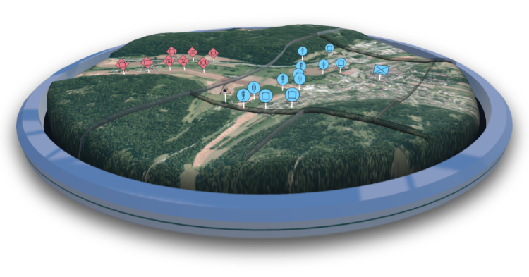

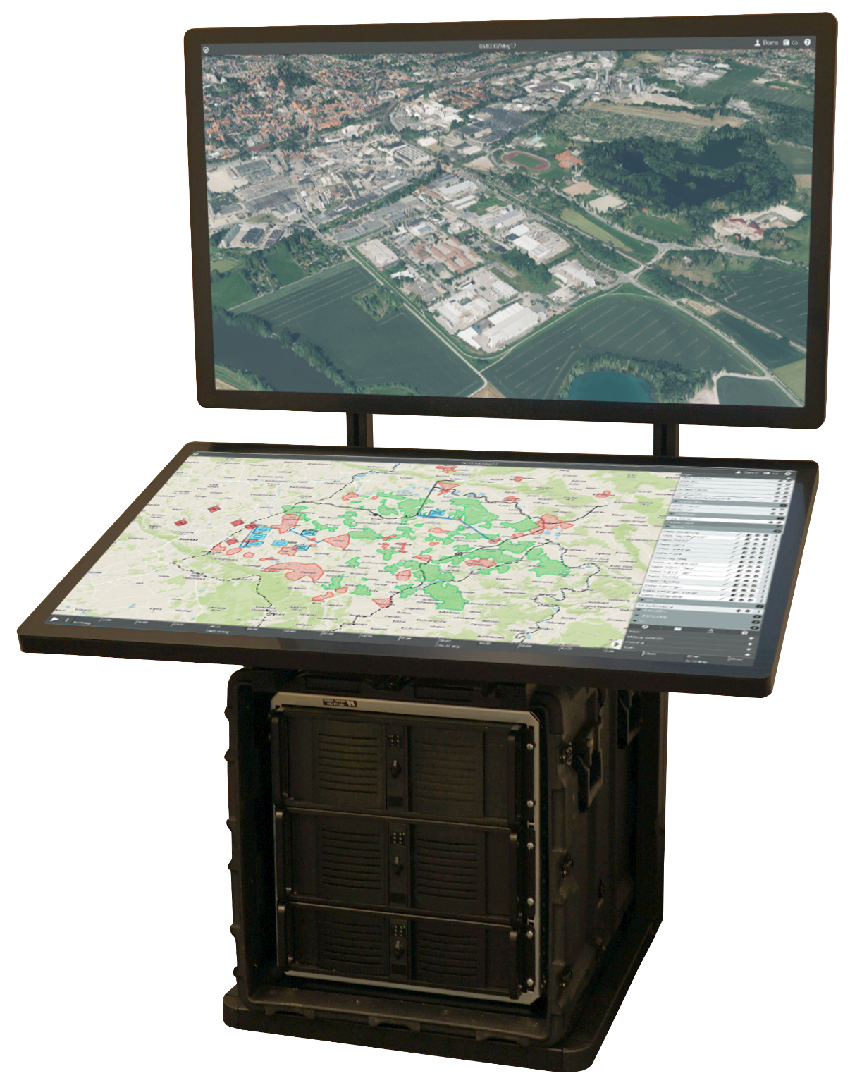
DigLT as a team workstation
Overview to make decisions together
For users on site, the touch table offers the shared use of the digital map table. With its two 4K displays, all details can be shown and touch interaction allows intuitive collaborative work. With only four components, the touch table can be set up in no time and is easy to relocate. All computers are housed in a hardened, waterproof base and are thus optimally protected. If required, additional VR glasses can be connected to use the map table in virtual reality as well.
Information
Developers
Open for everything: API & Globe SDK
In addition to the possibility of adapting or extending the digital map table for specific use cases, the REST API offers the possibility of reading all information and also feeding new information into the digital map table. Through this interface, information from any other tool can be easily integrated and displayed. Are you developing your own Unity application and want to display geodata? Globe SDK is a Unity asset that can display geodata from various sources in a performant way.
Information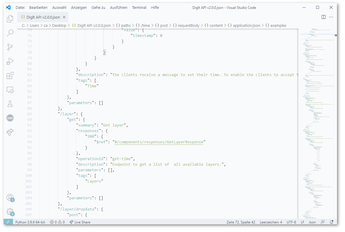
Contact
Point of contact
Dr.-Ing. Florian van de CampPhone
+49 721 6091-421Postal Address
Fraunhofer Institute of Optronics, System Technologies and Image Exploitation IOSBFraunhoferstr. 1
76131 Karlsruhe